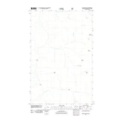
2011 Map of Skagit Peak
USGS Topo · Published 2011About this map
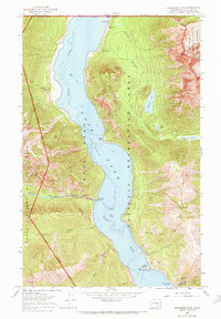
Skagit Peak and the high basins of Whatcom County define this mountain landscape along the international border with British Columbia. The area is characterized by a network of drainage systems, including the headwaters of Three Fools Creek and the meandering Freezeout Creek, which flows past Freezeout Lake. Human presence is marked primarily by backcountry landmarks such as Nightmare Camp in the western reaches and the Little Fish Shelter positioned along the southern stream banks. The topography is dominated by prominent summits like Freezeout Mountain and Joker Mountain, separated by high-altitude features like Welcome Basin and Elbow Basin. This 2011 survey records the intersection of named wilderness landmarks and primitive travel routes, providing a detailed look at the drainage patterns that feed into the larger Skagit River system.
Find a feature on this map
14 named features on this map. Tap any name to fly to it.
Don’t see what you’re looking for? This feature index may not catch every label — zoom into the map to look around manually.
Map Details
Editions of this 2011 Skagit Peak Map
This is the sole edition of this map. No revisions or reprints were ever made.
Other maps of this area

1920 · Slate Pass
USGS Topo · 1:125,000

1955 · Concrete
USGS Topo · 1:250,000

1958 · Concrete
USGS Topo · 1:250,000

1962 · Concrete
USGS Topo · 1:250,000

1969 · Skagit Peak
USGS Topo · 1:24,000
1969 · Jack Mtn
USGS Topo · 1:24,000
1969 · Shull Mtn.
USGS Topo · 1:24,000
1969 · Pumpkin Mtn.
USGS Topo · 1:24,000
1969 · Hozomeen Mtn
USGS Topo · 1:24,000

1979 · Mt. Baker
USGS Topo · 1:100,000