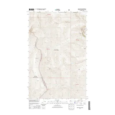
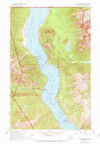
2014 Map of Skagit Peak
USGS Topo · Published 2014About this map
Skagit Peak rises at the intersection of several managed wilderness boundaries in this 2014 survey of Whatcom County. The landscape is defined by the convergence of the Ross Lake National Recreation Area, Mount Baker National Forest, and Okanogan National Forest. Notable for backcountry travelers, the map identifies remote waypoints such as Nightmare Camp, Deer Lick Cabin, and Little Fish Shelter.
Find a feature on this map
27 named features on this map. Tap any name to fly to it.
Don’t see what you’re looking for? This feature index may not catch every label — zoom into the map to look around manually.
Map Details
Editions of this 2014 Skagit Peak Map
This is the sole edition of this map. No revisions or reprints were ever made.
Other maps of this area

1920 · Slate Pass
USGS Topo · 1:125,000

1955 · Concrete
USGS Topo · 1:250,000

1958 · Concrete
USGS Topo · 1:250,000

1962 · Concrete
USGS Topo · 1:250,000

1969 · Skagit Peak
USGS Topo · 1:24,000
1969 · Jack Mtn
USGS Topo · 1:24,000
1969 · Shull Mtn.
USGS Topo · 1:24,000
1969 · Pumpkin Mtn.
USGS Topo · 1:24,000
1969 · Hozomeen Mtn
USGS Topo · 1:24,000

1979 · Mt. Baker
USGS Topo · 1:100,000