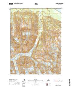
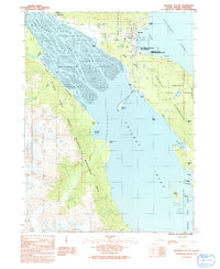
2017 Map of Skagway A-2 NW
USGS Topo · Published 2017About this map
Mt Emmerich dominates this wilderness landscape in the Haines Borough, where the dramatic elevation changes of the Coast Mountains meet the tidal waters of the Chilkat Inlet. This 2017 survey shows the intricate drainage patterns of the Kicking Horse River as it carves through the steep valleys of the Skagway area. The terrain is defined by the sharp contrasts of the Haska Cr basin, providing a clear picture of the glacial and fluvial geomorphology in this part of Southeast Alaska. Without established roads or settlements, the map focuses on the complex topography and natural boundaries that have dictated movement and survival in the region since the late 19th-century gold rush era.
Find a feature on this map
10 named features on this map. Tap any name to fly to it.
Don’t see what you’re looking for? This feature index may not catch every label — zoom into the map to look around manually.
Map Details
Editions of this 2017 Skagway A-2 NW Map
This is the sole edition of this map. No revisions or reprints were ever made.
Other maps of this area

1952 · Skagway
USGS Topo · 1:250,000

1954 · Skagway B-2
USGS Topo · 1:63,360

1954 · Skagway A-3
USGS Topo · 1:63,360

1954 · Skagway A-2
USGS Topo · 1:63,360

1954 · Skagway B-3
USGS Topo · 1:63,360

1961 · Skagway
USGS Topo · 1:250,000
1991 · Skagway B-2 SW
USGS Topo · 1:25,000
1991 · Skagway B-2 SE
USGS Topo · 1:25,000
1991 · Skagway B-3 SE
USGS Topo · 1:25,000
1991 · Skagway A-2 NE
USGS Topo · 1:25,000