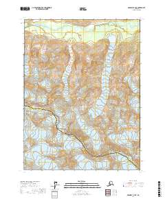
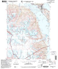
2017 Map of Skagway A-3 NE
USGS Topo · Published 2017About this map
Glacier Bay National Park dominates the southwestern portion of this Alaskan landscape, where the administrative boundary of the Haines Borough Hoonah-Angoon Census Area traverses high mountain ridges. The topography is defined by massive ice fields and active glacial movement, including the expansive Bertha Glacier and Willard Glacier which carve through the high elevations surrounding Mt Krause. To the north, the Takhin River valley provides a stark contrast to the ice-locked peaks, showing the drainage patterns typical of this sub-arctic environment. Researchers can observe the positioning of Nunatak Knob relative to the retreating ice of Dickinson Glacier and the terminal reaches of Garrison Glacier, offering a precise view of the region's physical geography in the early twenty-first century.
Find a feature on this map
15 named features on this map. Tap any name to fly to it.
Don’t see what you’re looking for? This feature index may not catch every label — zoom into the map to look around manually.
Map Details
Editions of this 2017 Skagway A-3 NE Map
This is the sole edition of this map. No revisions or reprints were ever made.
Other maps of this area

1952 · Skagway
USGS Topo · 1:250,000

1954 · Skagway B-2
USGS Topo · 1:63,360

1954 · Skagway A-3
USGS Topo · 1:63,360

1954 · Skagway A-2
USGS Topo · 1:63,360

1954 · Skagway B-3
USGS Topo · 1:63,360

1961 · Skagway
USGS Topo · 1:250,000
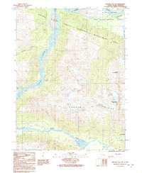
1991 · Skagway B-3 SW
USGS Topo · 1:25,000
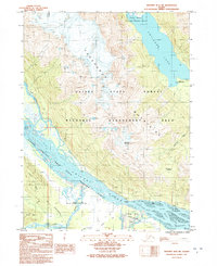
1991 · Skagway B-2 SW
USGS Topo · 1:25,000
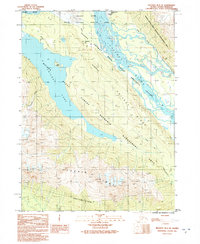
1991 · Skagway B-3 SE
USGS Topo · 1:25,000
2004 · Skagway A-2
USGS Topo · 1:63,360