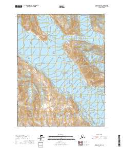
2017 Map of Skagway A-5 SE
USGS Topo · Published 2017About this map
Glacier Bay National Park dominates this high-latitude landscape, where the shifting ice of the Carroll Glacier defines the northern terrain. The sheet illustrates a strictly wilderness environment within the Hoonah-Angoon Census Area, characterized by dramatic elevation changes that culminate at Gable Mtn. This 2017 survey reflects the contemporary topography of one of Alaska’s most significant protected regions, providing an exact record of glacial positioning and mountain relief. The lack of roads or established settlements emphasizes the remote character of this maritime wilderness, where the primary organizational structures are the Public Land Survey System boundaries, such as t32s r52e and t33s r53e, used to delineate this vast coastal territory.
Find a feature on this map
7 named features on this map. Tap any name to fly to it.
Don’t see what you’re looking for? This feature index may not catch every label — zoom into the map to look around manually.
Map Details
Editions of this 2017 Skagway A-5 SE Map
This is the sole edition of this map. No revisions or reprints were ever made.
Other maps of this area

1948 · Mount Fairweather D-2
USGS Topo · 1:63,360

1950 · Mount Fairweather D-2
USGS Topo · 1:63,360

1951 · Mt Fairweather
USGS Topo · 1:250,000

1952 · Skagway
USGS Topo · 1:250,000
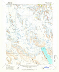
1961 · Skagway A-4
USGS Topo · 1:63,360
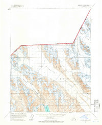
1961 · Skagway A-5
USGS Topo · 1:63,360

1961 · Mount Fairweather D-3
USGS Topo · 1:63,360

1961 · Mt Fairweather
USGS Topo · 1:250,000

1961 · Skagway
USGS Topo · 1:250,000
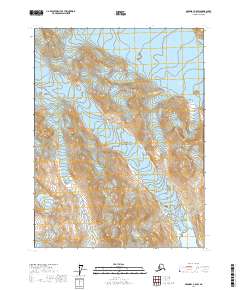
2017 · Skagway A-5 SW
USGS Topo · 1:25,000