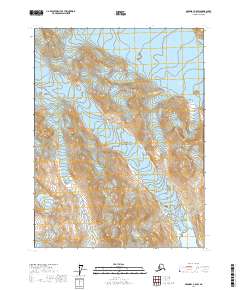
2017 Map of Skagway A-5 SW
USGS Topo · Published 2017About this map
Glacier Bay National Park dominates this high-latitude terrain within the Hoonah-Angoon Census Area, showcasing a landscape defined by active glacial movements and deep maritime inlets. The southern portion of the sheet reveals the meeting of ice and sea at Rendu Inlet, where the Rendu Glacier flows toward the water. To the north, the massive Carroll Glacier occupies a significant portion of the ice-carved valleys. This map illustrates the dramatic topographical shifts between the glacial tongues and the surrounding mountain ridges, providing an essential record of these ice features as they existed in the early 21st century. The Public Land Survey System grids, including t32s r52e and t33s r51e, provide a structured overlay to this protected wilderness, tracking the boundaries of the national park across the ice-fields.
Find a feature on this map
8 named features on this map. Tap any name to fly to it.
Don’t see what you’re looking for? This feature index may not catch every label — zoom into the map to look around manually.
Map Details
Editions of this 2017 Skagway A-5 SW Map
This is the sole edition of this map. No revisions or reprints were ever made.
Other maps of this area

1951 · Mt Fairweather
USGS Topo · 1:250,000

1952 · Skagway
USGS Topo · 1:250,000
1961 · Skagway A-6
USGS Topo · 1:63,360
1961 · Skagway A-5
USGS Topo · 1:63,360

1961 · Mount Fairweather D-3
USGS Topo · 1:63,360

1961 · Mt Fairweather
USGS Topo · 1:250,000

1961 · Skagway
USGS Topo · 1:250,000
2017 · Skagway A-5 SE
USGS Topo · 1:25,000
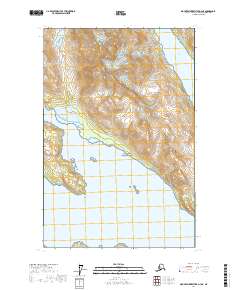
2017 · Mount Fairweather D-3 NE
USGS Topo · 1:25,000
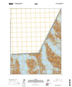
2017 · Skagway A-5 NE
USGS Topo · 1:25,000