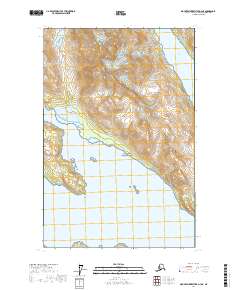
2017 Map of Mount Fairweather D-3 NE
USGS Topo · Published 2017About this map
Glacier Bay National Park dominates this Alaskan landscape, where massive ice formations and steep maritime peaks define the terrain. The presence of Romer Glacier sliding from the heights of Mt Abdallah illustrates the dynamic glacial environment that shapes the region’s topography. The map reveals the intricate shoreline where the ice meets the sea, notably around Russell Island and the mouth of Rendu Inlet. This survey provides a baseline for understanding the changing glacial margins and deep fjords of Glacier Bay in the modern era. Small landforms like Ibach Point offer specific navigation markers for those studying the coastal history of this protected wilderness.
Find a feature on this map
11 named features on this map. Tap any name to fly to it.
Don’t see what you’re looking for? This feature index may not catch every label — zoom into the map to look around manually.
Map Details
Editions of this 2017 Mount Fairweather D-3 NE Map
This is the sole edition of this map. No revisions or reprints were ever made.
Other maps of this area

1948 · Mount Fairweather D-2
USGS Topo · 1:63,360

1950 · Mount Fairweather D-2
USGS Topo · 1:63,360

1951 · Mt Fairweather
USGS Topo · 1:250,000

1952 · Skagway
USGS Topo · 1:250,000
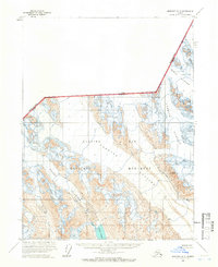
1961 · Skagway A-5
USGS Topo · 1:63,360

1961 · Mount Fairweather D-3
USGS Topo · 1:63,360

1961 · Mt Fairweather
USGS Topo · 1:250,000

1961 · Skagway
USGS Topo · 1:250,000
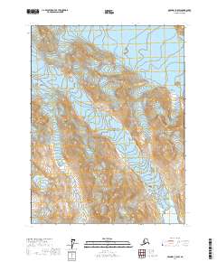
2017 · Skagway A-5 SW
USGS Topo · 1:25,000
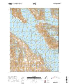
2017 · Skagway A-5 SE
USGS Topo · 1:25,000