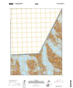
2017 Map of Skagway A-5 NE
USGS Topo · Published 2017About this map
The international border between Canada and the United States cuts diagonally across this high-altitude landscape within Glacier Bay National Park. The terrain is defined by massive ice fields and slow-moving glacial systems, including the southern reaches of Muir Glacier and the expansive Carroll Glacier. Located in the Hoonah-Angoon Census Area, this map documents the frozen geography along the northern reaches of the Alaskan panhandle.
Find a feature on this map
13 named features on this map. Tap any name to fly to it.
Don’t see what you’re looking for? This feature index may not catch every label — zoom into the map to look around manually.
Map Details
Editions of this 2017 Skagway A-5 NE Map
This is the sole edition of this map. No revisions or reprints were ever made.
Other maps of this area

1952 · Skagway
USGS Topo · 1:250,000

1954 · Skagway B-4
USGS Topo · 1:63,360
1961 · Skagway A-4
USGS Topo · 1:63,360
1961 · Skagway A-5
USGS Topo · 1:63,360

1961 · Skagway
USGS Topo · 1:250,000
2017 · Skagway A-5 SW
USGS Topo · 1:25,000
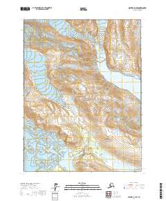
2017 · Skagway A-4 SW
USGS Topo · 1:25,000
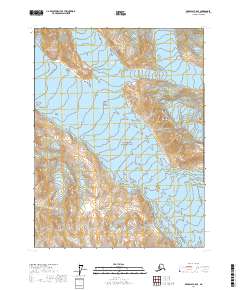
2017 · Skagway A-5 SE
USGS Topo · 1:25,000
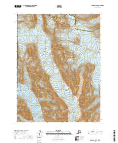
2017 · Skagway A-4 NW
USGS Topo · 1:25,000
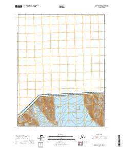
2017 · Skagway A-5 NW
USGS Topo · 1:25,000