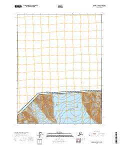
2017 Map of Skagway A-5 NW
USGS Topo · Published 2017About this map
Glacier Bay National Park dominates the southern landscape of this remote borderland, where the massive ice flows of Carroll Glacier and the edge of Rendu Glacier carve through the high-altitude terrain. Situated along the international boundary between Canada and the United States, the map captures a strictly glaciated and mountainous environment within the Hoonah-Angoon Census Area. The presence of Boundary Peak 158 along the divide highlights the surveyor's focus on the line where sovereign territories meet amidst the ice. This 2017 edition reflects a landscape defined entirely by natural forces and administrative boundaries, devoid of permanent settlements or infrastructure, offering a clear view of the topographical state of these protected wilderness areas and their shifting glacial margins.
Find a feature on this map
11 named features on this map. Tap any name to fly to it.
Don’t see what you’re looking for? This feature index may not catch every label — zoom into the map to look around manually.
Map Details
Editions of this 2017 Skagway A-5 NW Map
This is the sole edition of this map. No revisions or reprints were ever made.
Other maps of this area

1952 · Skagway
USGS Topo · 1:250,000
1961 · Skagway A-6
USGS Topo · 1:63,360
1961 · Skagway A-5
USGS Topo · 1:63,360

1961 · Skagway
USGS Topo · 1:250,000
2017 · Skagway A-5 SW
USGS Topo · 1:25,000
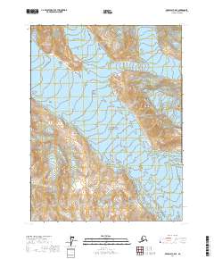
2017 · Skagway A-5 SE
USGS Topo · 1:25,000
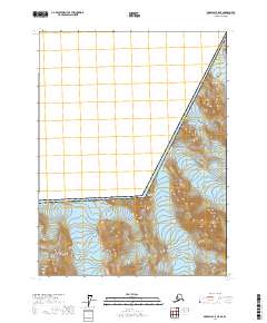
2017 · Skagway A-5 NE
USGS Topo · 1:25,000
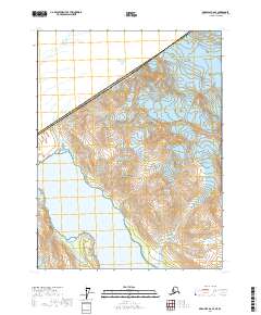
2017 · Skagway A-6 SE
USGS Topo · 1:25,000
2017 · Skagway A-6 NE
USGS Topo · 1:25,000