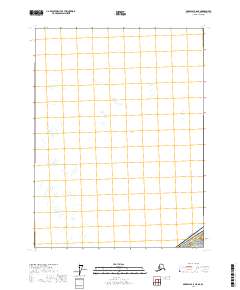
2017 Map of Skagway A-6 NE
USGS Topo · Published 2017About this map
Glacier Bay National Park dominates the southeastern corner of this quadrangle, marking a remote boundary zone where the wilderness of the Hoonah-Angoon Census Area meets the international border with Canada. The landscape is defined by the high-latitude glacial activity of the Fairweather Range, notably featuring the terminus of the Rendu Glacier. While most of the sheet is comprised of high-elevation ice fields and undefined peaks, the intricate contours of the glacial flows and the geopolitical boundary line provide a specialized view of this protected Alaskan environment in the early twenty-first century. This survey records the specific position of the ice and the territorial line at a time when North American glaciers are under increasing scrutiny for their rapid physical changes.
Find a feature on this map
4 named features on this map. Tap any name to fly to it.
Don’t see what you’re looking for? This feature index may not catch every label — zoom into the map to look around manually.
Map Details
Editions of this 2017 Skagway A-6 NE Map
This is the sole edition of this map. No revisions or reprints were ever made.
Other maps of this area

1952 · Skagway
USGS Topo · 1:250,000
1961 · Skagway A-6
USGS Topo · 1:63,360
1961 · Skagway A-5
USGS Topo · 1:63,360

1961 · Skagway
USGS Topo · 1:250,000
2017 · Skagway A-5 SW
USGS Topo · 1:25,000
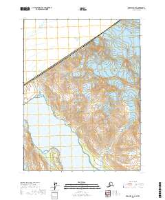
2017 · Skagway A-6 SE
USGS Topo · 1:25,000
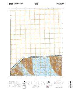
2017 · Skagway A-5 NW
USGS Topo · 1:25,000
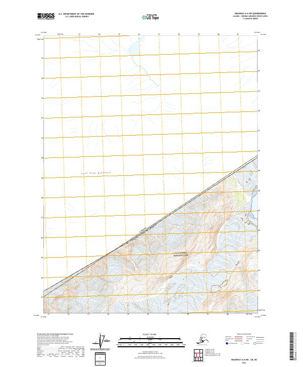
2021 · Skagway A-6 SW
USGS Topo · 1:25,000