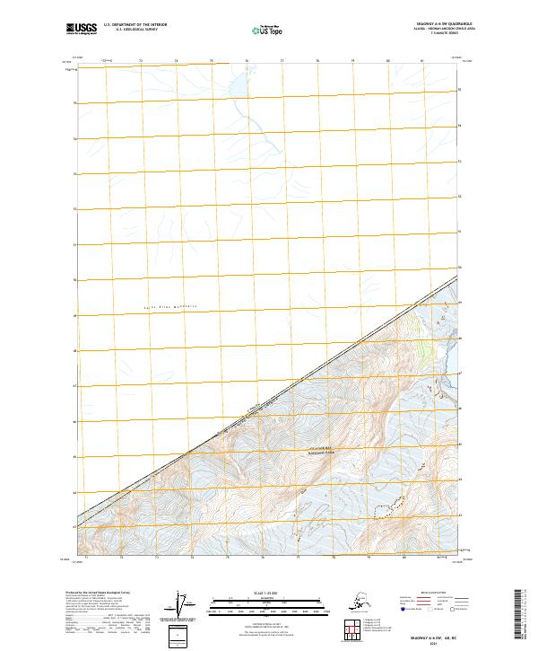
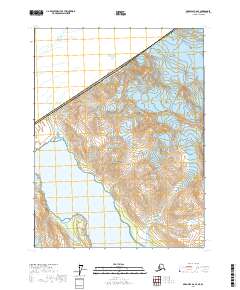
2021 Map of Skagway A-6 SW
USGS Topo · Published 2021About this map
The high-altitude peaks of the Saint Elias Mountains define this international boundary region, where the rugged topography of Alaska meets British Columbia. This survey centers on the northern reaches of Glacier Bay National Park, a landscape dominated by steep contour lines and glacial drainages. Notable topographic landmarks include Mt Forde, which rises near the diagonal border between the Canada-United States of America frontier. The map provides a detailed view of the Public Land Survey System divisions, including t33s r49e and t33s r50e, highlighting how these administrative grids are overlaid onto the complex terrain of the Alaskan panhandle.
Find a feature on this map
8 named features on this map. Tap any name to fly to it.
Don’t see what you’re looking for? This feature index may not catch every label — zoom into the map to look around manually.
Map Details
Editions of this 2021 Skagway A-6 SW Map
This is the sole edition of this map. No revisions or reprints were ever made.
Other maps of this area

1951 · Mt Fairweather
USGS Topo · 1:250,000

1952 · Skagway
USGS Topo · 1:250,000

1961 · Skagway A-7
USGS Topo · 1:63,360

1961 · Mount Fairweather D-4
USGS Topo · 1:63,360
1961 · Skagway A-6
USGS Topo · 1:63,360

1961 · Mt Fairweather
USGS Topo · 1:250,000

1961 · Skagway
USGS Topo · 1:250,000
2017 · Mount Fairweather D-4 NE
USGS Topo · 1:25,000
2017 · Mount Fairweather D-4 NW
USGS Topo · 1:25,000
2017 · Skagway A-6 SE
USGS Topo · 1:25,000