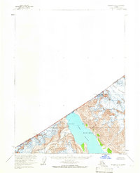
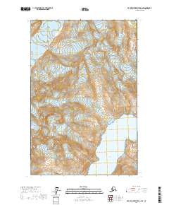
1961 Map of Skagway A-6
USGS Topo · Published 1966About this map
Glacier Bay National Monument dominates this mid-century survey, capturing a landscape of active ice and maritime boundaries. The map focuses on the upper reaches of Tarr Inlet, where the Margerie Glacier and Rendu Glacier meet the waters of Glacier Bay. This area represents a critical point of international geography, as the international boundary between the United States and Canada runs through the high peaks of the Fairweather Range. High altitude markers such as Boundary Peak 161 Mt Forde and Boundary Peak 160 Mt Barnard serve as fixed points along the British Columbia and Alaska border. Topographic details like mapped Crevasses provide a glimpse into the glaciological state of the region during the late 1940s and early 1950s aerial photography window.
Find a feature on this map
10 named features on this map. Tap any name to fly to it.
Don’t see what you’re looking for? This feature index may not catch every label — zoom into the map to look around manually.
Map Details
Editions of this 1961 Skagway A-6 Map
2 editions found
Other maps of this area

1951 · Mt Fairweather
USGS Topo · 1:250,000

1952 · Skagway
USGS Topo · 1:250,000

1961 · Skagway A-7
USGS Topo · 1:63,360

1961 · Mount Fairweather D-4
USGS Topo · 1:63,360
1961 · Skagway A-5
USGS Topo · 1:63,360

1961 · Mount Fairweather D-3
USGS Topo · 1:63,360

1961 · Mt Fairweather
USGS Topo · 1:250,000

1961 · Skagway
USGS Topo · 1:250,000
2017 · Skagway A-5 SW
USGS Topo · 1:25,000
2017 · Mount Fairweather D-4 NE
USGS Topo · 1:25,000