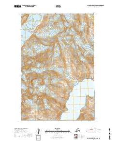
2017 Map of Mount Fairweather D-4 NE
USGS Topo · Published 2017About this map
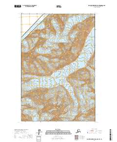
Glacier Bay National Park serves as the backdrop for this study of massive ice flows and coastal transformation in the Hoonah-Angoon Census Area. The map captures the complex movement of several distinct glacial systems, including the Margerie Glacier and Topeka Glacier, as they advance from the high ridges down toward the tidewater. The shoreline of Johns Hopkins Inlet is particularly well-defined, showing the dramatic interface where the ice meets the sea near Jaw Point. Detailed contouring reveals the sheer verticality of the terrain surrounding the Toyatte Glacier and Kadachan Glacier, providing a clear record of the area's geological character. This topographic survey documents the state of these retreating ice masses at a specific moment in the early twenty-first century, offering a baseline for researchers tracking Alasks's changing coastal environment.
Find a feature on this map
11 named features on this map. Tap any name to fly to it.
Don’t see what you’re looking for? This feature index may not catch every label — zoom into the map to look around manually.
Map Details
Editions of this 2017 Mount Fairweather D-4 NE Map
This is the sole edition of this map. No revisions or reprints were ever made.
Other maps of this area

1951 · Mt Fairweather
USGS Topo · 1:250,000

1952 · Skagway
USGS Topo · 1:250,000

1961 · Mount Fairweather D-4
USGS Topo · 1:63,360
1961 · Skagway A-6
USGS Topo · 1:63,360

1961 · Mount Fairweather D-3
USGS Topo · 1:63,360

1961 · Mt Fairweather
USGS Topo · 1:250,000

1961 · Skagway
USGS Topo · 1:250,000
2017 · Mount Fairweather D-4 SW
USGS Topo · 1:25,000
2017 · Mount Fairweather D-4 SE
USGS Topo · 1:25,000
2017 · Mount Fairweather D-4 NW
USGS Topo · 1:25,000