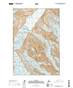
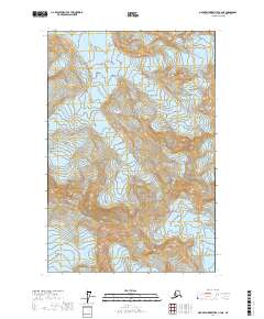
2017 Map of Mount Fairweather D-4 SE
USGS Topo · Published 2017About this map
Glacier Bay National Park dominates this high-altitude landscape, where the shifting ice of the Saint Elias Mountains and the Fairweather Range defines the terrain. The map records a complex network of active ice fields, including the massive Johns Hopkins Glacier and the distinct flows of John Glacier, Clark Glacier, and Hoonah Glacier.
Find a feature on this map
53 named features on this map. Tap any name to fly to it.
Don’t see what you’re looking for? This feature index may not catch every label — zoom into the map to look around manually.
Map Details
Editions of this 2017 Mount Fairweather D-4 SE Map
This is the sole edition of this map. No revisions or reprints were ever made.
Other maps of this area

1951 · Mt Fairweather
USGS Topo · 1:250,000

1961 · Mount Fairweather D-4
USGS Topo · 1:63,360

1961 · Mount Fairweather C-4
USGS Topo · 1:63,360

1961 · Mount Fairweather C-3
USGS Topo · 1:63,360

1961 · Mount Fairweather D-3
USGS Topo · 1:63,360

1961 · Mt Fairweather
USGS Topo · 1:250,000
2017 · Mount Fairweather D-4 SW
USGS Topo · 1:25,000
2017 · Mount Fairweather D-4 NE
USGS Topo · 1:25,000
2017 · Mount Fairweather D-4 NW
USGS Topo · 1:25,000
2017 · Mount Fairweather C-4 NE
USGS Topo · 1:25,000