
1961 Map of Mount Fairweather C-3
USGS Topo · Published 1966About this map
Glacier Bay National Monument dominates this mid-century topographic study, showcasing a landscape defined by massive ice fields and the peaks that rise through them. The vast Brady Glacier occupies the central and southern portions of the sheet, while the northern reaches are carved by the Reid Glacier and the Aurora Glacier. These frozen rivers are marked by extensive networks of crevasses, illustrating the dynamic movement of the ice during the early 1960s.
Find a feature on this map
12 named features on this map. Tap any name to fly to it.
Don’t see what you’re looking for? This feature index may not catch every label — zoom into the map to look around manually.
Map Details
Editions of this 1961 Mount Fairweather C-3 Map
This is the sole edition of this map. No revisions or reprints were ever made.
Other maps of this area

1948 · Mount Fairweather B-2
USGS Topo · 1:63,360

1948 · Mount Fairweather D-2
USGS Topo · 1:63,360

1948 · Mount Fairweather C-2
USGS Topo · 1:63,360

1950 · Mount Fairweather D-2
USGS Topo · 1:63,360

1950 · Mount Fairweather C-2
USGS Topo · 1:63,360

1951 · Mt Fairweather
USGS Topo · 1:250,000
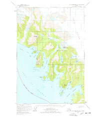
1961 · Mount Fairweather B-3
USGS Topo · 1:63,360

1961 · Mount Fairweather D-4
USGS Topo · 1:63,360

1961 · Mount Fairweather C-4
USGS Topo · 1:63,360
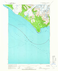
1961 · Mt Fairweather B-4
USGS Topo · 1:63,360