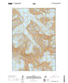
2017 Map of Mount Fairweather C-4 NE
USGS Topo · Published 2017About this map
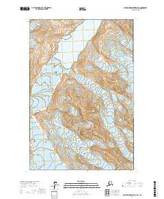
Glacier Bay National Park dominates this high-altitude wilderness survey, where the icy flow of Johns Hopkins Glacier and Reid Glacier carve through the northern terrain. The landscape is defined by the massive peaks of the Fairweather Range and the Saint Elias Mountains, creating a topography of extreme relief. To the south and east, the ice sheets of Brady Glacier and La Perouse Glacier continue the glacial pattern, while Mt Bertha stands as a prominent landmark amidst the frozen expanse. This 2017 edition records the complex glacial margins and high-mountain boundaries of one of Alaska’s most formidable environments, providing an essential geographic record of contemporary ice movement and permanent snowfields in the Hoonah-Angoon Census Area.
Find a feature on this map
13 named features on this map. Tap any name to fly to it.
Don’t see what you’re looking for? This feature index may not catch every label — zoom into the map to look around manually.
Map Details
Editions of this 2017 Mount Fairweather C-4 NE Map
This is the sole edition of this map. No revisions or reprints were ever made.
Other maps of this area

1951 · Mt Fairweather
USGS Topo · 1:250,000

1961 · Mount Fairweather D-4
USGS Topo · 1:63,360

1961 · Mount Fairweather C-4
USGS Topo · 1:63,360

1961 · Mount Fairweather C-3
USGS Topo · 1:63,360

1961 · Mount Fairweather D-3
USGS Topo · 1:63,360

1961 · Mt Fairweather
USGS Topo · 1:250,000
2017 · Mount Fairweather D-4 SW
USGS Topo · 1:25,000
2017 · Mount Fairweather C-4 SE
USGS Topo · 1:25,000
2017 · Mount Fairweather C-4 SW
USGS Topo · 1:25,000
2017 · Mount Fairweather D-4 SE
USGS Topo · 1:25,000