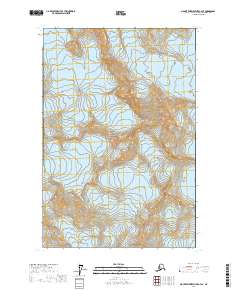
2017 Map of Mount Fairweather C-4 SE
USGS Topo · Published 2017About this map
Glacier Bay National Park dominates this terrain, where massive ice fields shape the drainage patterns of the Hoonah-Angoon region. The high-altitude topography is anchored by Mt La Perouse, a peak that serves as the source for several significant ice flows. The survey details the intricate relationship between three major glacial systems: Brady Glacier in the east, La Perouse Glacier in the center, and Finger Glacier to the south. This 2017 study illustrates the complex contours and elevation changes within this protected wilderness area, documenting the exact boundaries of Township 38 South, Range 50 East and neighboring sections. The lack of man-made structures or transport networks underscores the character of this landscape as an untouched glacial environment.
Find a feature on this map
12 named features on this map. Tap any name to fly to it.
Don’t see what you’re looking for? This feature index may not catch every label — zoom into the map to look around manually.
Map Details
Editions of this 2017 Mount Fairweather C-4 SE Map
This is the sole edition of this map. No revisions or reprints were ever made.
Other maps of this area

1951 · Mt Fairweather
USGS Topo · 1:250,000
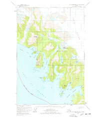
1961 · Mount Fairweather B-3
USGS Topo · 1:63,360

1961 · Mount Fairweather C-4
USGS Topo · 1:63,360

1961 · Mount Fairweather C-3
USGS Topo · 1:63,360
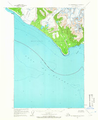
1961 · Mt Fairweather B-4
USGS Topo · 1:63,360

1961 · Mt Fairweather
USGS Topo · 1:250,000
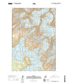
2017 · Mount Fairweather C-4 SW
USGS Topo · 1:25,000
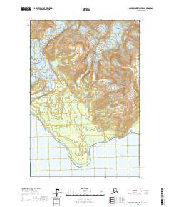
2017 · Mount Fairweather B-4 NE
USGS Topo · 1:25,000
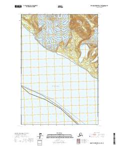
2017 · Mount Fairweather B-4 NW
USGS Topo · 1:25,000
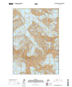
2017 · Mount Fairweather C-4 NE
USGS Topo · 1:25,000