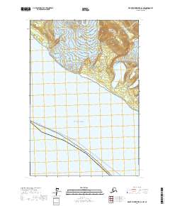
2017 Map of Mount Fairweather B-4 NW
USGS Topo · Published 2017About this map
Glacier Bay National Park dominates the upper reaches of this coastal map, where the massive La Perouse Glacier and Finger Glacier flow toward the sea from the elevations of the Fairweather Range. This coastal wilderness within the Hoonah-Angoon Census Area showcases a landscape defined by glacial recession and high-altitude terrain, including the prominent peak at South Dome. The shoreline meets the Gulf of Alaska, which serves as a vital maritime corridor for the region. A primary marine route, the Pelican - Juneau transit line, runs parallel to the coast, marking the connection between isolated coastal settlements. The transition from the icy heights of the interior mountains to the open ocean highlights the dynamic environment of the Alaska panhandle in the early 21st century.
Find a feature on this map
12 named features on this map. Tap any name to fly to it.
Don’t see what you’re looking for? This feature index may not catch every label — zoom into the map to look around manually.
Map Details
Editions of this 2017 Mount Fairweather B-4 NW Map
This is the sole edition of this map. No revisions or reprints were ever made.
Other maps of this area

1951 · Mt Fairweather
USGS Topo · 1:250,000

1961 · Mount Fairweather C-4
USGS Topo · 1:63,360
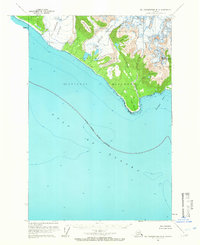
1961 · Mt Fairweather B-4
USGS Topo · 1:63,360

1961 · Mount Fairweather C-5
USGS Topo · 1:63,360

1961 · Mt Fairweather
USGS Topo · 1:250,000
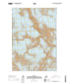
2017 · Mount Fairweather C-4 SE
USGS Topo · 1:25,000
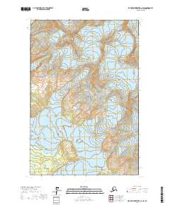
2017 · Mount Fairweather C-4 SW
USGS Topo · 1:25,000
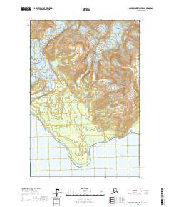
2017 · Mount Fairweather B-4 NE
USGS Topo · 1:25,000
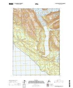
2017 · Mount Fairweather C-5 SE
USGS Topo · 1:25,000
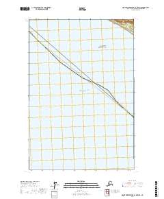
2017 · Mount Fairweather B-4 OE W NE
USGS Topo · 1:25,000