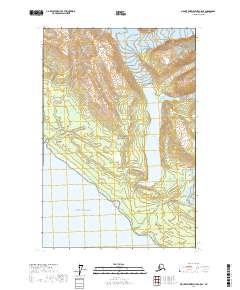
2017 Map of Mount Fairweather C-5 SE
USGS Topo · Published 2017About this map
Glacier Bay National Park encompasses the majority of this coastal landscape, where ice and water define the geography. The massive Crillon Lake sits as a central landmark, fed by the glacial runoff of the South Crillon Glacier to the north. Steep coastal peaks like Bald Mtn, Grassy Mtn, and Cairn Peak overlook the shoreline, illustrating the dramatic elevation changes characteristic of this maritime wilderness. To the south, the Crillon River and Dagelet River drain toward the open waters of the Gulf of Alaska. This 2017 survey reveals the active glacial environment, notably where the Klooch Glacier reaches toward the eastern ridges and the expansive wetlands surrounding Grassy Pond provide a contrast to the high alpine summits of North Dome.
Find a feature on this map
22 named features on this map. Tap any name to fly to it.
Don’t see what you’re looking for? This feature index may not catch every label — zoom into the map to look around manually.
Map Details
Editions of this 2017 Mount Fairweather C-5 SE Map
This is the sole edition of this map. No revisions or reprints were ever made.
Other maps of this area

1951 · Mt Fairweather
USGS Topo · 1:250,000

1961 · Mount Fairweather C-4
USGS Topo · 1:63,360
1961 · Mt Fairweather B-4
USGS Topo · 1:63,360

1961 · Mount Fairweather C-5
USGS Topo · 1:63,360

1961 · Mt Fairweather
USGS Topo · 1:250,000
2017 · Mount Fairweather C-5 NW
USGS Topo · 1:25,000
2017 · Mount Fairweather C-4 SW
USGS Topo · 1:25,000
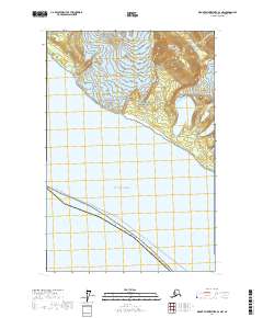
2017 · Mount Fairweather B-4 NW
USGS Topo · 1:25,000
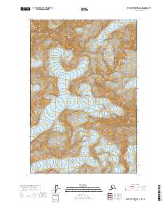
2017 · Mount Fairweather C-4 NW
USGS Topo · 1:25,000
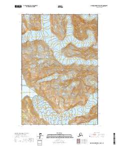
2017 · Mount Fairweather C-5 NE
USGS Topo · 1:25,000