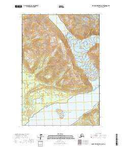
2017 Map of Mount Fairweather C-5 NW
USGS Topo · Published 2017About this map
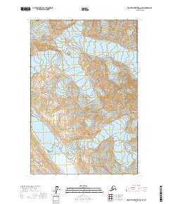
Lituya Bay opens into the Gulf of Alaska along this dramatic stretch of the Hoonah-Angoon coast, where the tectonic and glacial forces of Southeast Alaska are on full display. The map reveals the massive Lituya Glacier feeding into the northern reaches of the bay near Gilbert Inlet, a site known for its extreme geological activity. Centered in the waterway is Cenotaph Island, while to the north, the sharp relief of South Billy Goat Mtn and the appropriately named Desolation Valley define the interior terrain.
Find a feature on this map
22 named features on this map. Tap any name to fly to it.
Don’t see what you’re looking for? This feature index may not catch every label — zoom into the map to look around manually.
Map Details
Editions of this 2017 Mount Fairweather C-5 NW Map
This is the sole edition of this map. No revisions or reprints were ever made.
Other maps of this area

1951 · Mt Fairweather
USGS Topo · 1:250,000

1961 · Mount Fairweather D-6
USGS Topo · 1:63,360

1961 · Mount Fairweather D-5
USGS Topo · 1:63,360
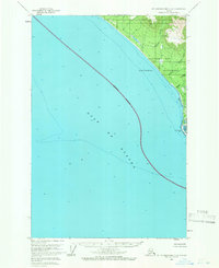
1961 · Mount Fairweather C-6
USGS Topo · 1:63,360

1961 · Mount Fairweather C-5
USGS Topo · 1:63,360

1961 · Mt Fairweather
USGS Topo · 1:250,000
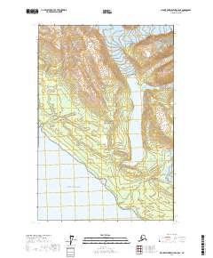
2017 · Mount Fairweather C-5 SE
USGS Topo · 1:25,000
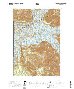
2017 · Mount Fairweather D-6 SE
USGS Topo · 1:25,000
2017 · Mount Fairweather D-5 SW
USGS Topo · 1:25,000
2017 · Mount Fairweather C-6 SE
USGS Topo · 1:25,000