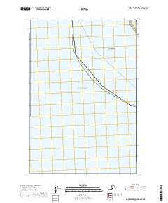
2017 Map of Mount Fairweather C-6 SE
USGS Topo · Published 2017About this map
Anchorage Cove provides a rare landing point along this remote stretch of the Alaska coastline, where the land meets the massive expanse of the Gulf of Alaska. Surveyed in 2017, the map delineates the maritime boundary of Glacier Bay National Park, illustrating how administrative borders follow the shoreline and cut across open water. The landscape is characterized by its relative isolation, with the primary human footprint represented by the shipping lanes and transit routes of the Pelican - Juneau ferry path. This aquatic corridor remains a vital link for coastal communities, tracing a line through the wilderness where the Hoonah-Angoon Census Area meets the open sea.
Find a feature on this map
1 named feature on this map. Tap any name to fly to it.
Don’t see what you’re looking for? This feature index may not catch every label — zoom into the map to look around manually.
Map Details
Editions of this 2017 Mount Fairweather C-6 SE Map
This is the sole edition of this map. No revisions or reprints were ever made.
Other maps of this area

1951 · Mt Fairweather
USGS Topo · 1:250,000
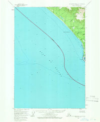
1961 · Mount Fairweather C-6
USGS Topo · 1:63,360

1961 · Mount Fairweather C-5
USGS Topo · 1:63,360

1961 · Mt Fairweather
USGS Topo · 1:250,000
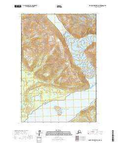
2017 · Mount Fairweather C-5 NW
USGS Topo · 1:25,000
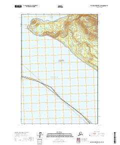
2017 · Mount Fairweather C-5 SW
USGS Topo · 1:25,000
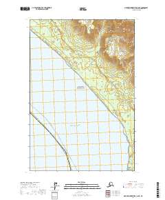
2017 · Mount Fairweather C-6 NE
USGS Topo · 1:25,000
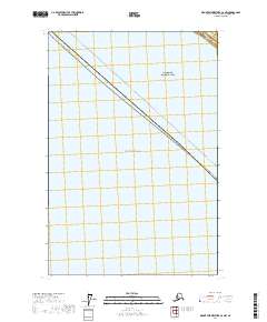
2017 · Mount Fairweather C-6 NW
USGS Topo · 1:25,000