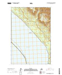
2017 Map of Mount Fairweather C-6 NE
USGS Topo · Published 2017About this map
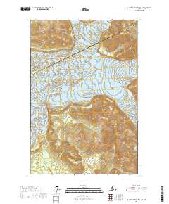
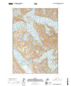
The Fairweather Range and the Saint Elias Mountains dominate this northern Alaskan coastal landscape, where high glacial peaks descend rapidly toward the Gulf of Alaska. A significant portion of the inland terrain is protected within Glacier Bay National Park, a region defined by its dynamic hydrological system of coastal streams. Small waterways such as Justice Cr, Echo Cr, and Eagle Cr drain the steep mountain slopes, cutting through the shoreline of the Hoonah-Angoon Census Area. The mapping shows the intricate relationship between the maritime environment and the high-elevation topography of the Panhandle, including the mouth of Portage Cr as it meets the sea. This 2017 survey reflects a wilderness largely untouched by permanent infrastructure, preserving the natural drainage patterns and the massive scale of the Alsek-Fairweather coastline.
Find a feature on this map
16 named features on this map. Tap any name to fly to it.
Don’t see what you’re looking for? This feature index may not catch every label — zoom into the map to look around manually.
Map Details
Editions of this 2017 Mount Fairweather C-6 NE Map
This is the sole edition of this map. No revisions or reprints were ever made.
Other maps of this area

1951 · Mt Fairweather
USGS Topo · 1:250,000

1961 · Mount Fairweather D-6
USGS Topo · 1:63,360

1961 · Mount Fairweather D-5
USGS Topo · 1:63,360
1961 · Mount Fairweather C-6
USGS Topo · 1:63,360

1961 · Mount Fairweather C-5
USGS Topo · 1:63,360

1961 · Mt Fairweather
USGS Topo · 1:250,000
2017 · Mount Fairweather D-6 SW
USGS Topo · 1:25,000
2017 · Mount Fairweather C-5 NW
USGS Topo · 1:25,000
2017 · Mount Fairweather D-6 SE
USGS Topo · 1:25,000
2017 · Mount Fairweather D-5 SW
USGS Topo · 1:25,000