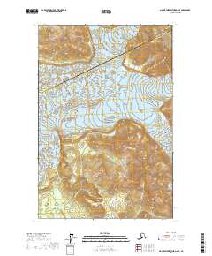
2017 Map of Mount Fairweather D-6 SE
USGS Topo · Published 2017About this map
Glacier Bay National Park dominates this 2017 survey, where the icy flow of the Fairweather Glacier descends toward the coast from the heights of the Saint Elias Mountains. The landscape is defined by massive topographical relief, rising sharply to the peak of Mt Escures and the jagged ridgelines of the Fairweather Range. This portion of the Yakutat Borough Hoonah-Angoon Census Area remains largely pristine, with the drainage of Justice Cr providing one of the few named watercourses in a region of shifting ice and permanent snowfields. The map illustrates the complex boundary where these two administrative areas meet amidst the high-altitude wilderness of southeastern Alaska.
Find a feature on this map
11 named features on this map. Tap any name to fly to it.
Don’t see what you’re looking for? This feature index may not catch every label — zoom into the map to look around manually.
Map Details
Editions of this 2017 Mount Fairweather D-6 SE Map
This is the sole edition of this map. No revisions or reprints were ever made.
Other maps of this area

1951 · Mt Fairweather
USGS Topo · 1:250,000

1961 · Mount Fairweather D-6
USGS Topo · 1:63,360

1961 · Mount Fairweather D-5
USGS Topo · 1:63,360
1961 · Mount Fairweather C-6
USGS Topo · 1:63,360

1961 · Mount Fairweather C-5
USGS Topo · 1:63,360

1961 · Mt Fairweather
USGS Topo · 1:250,000
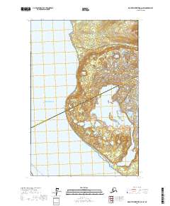
2017 · Mount Fairweather D-6 SW
USGS Topo · 1:25,000
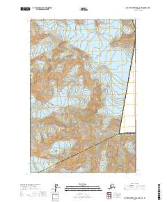
2017 · Mount Fairweather D-5 NW
USGS Topo · 1:25,000
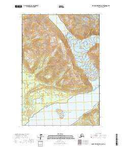
2017 · Mount Fairweather C-5 NW
USGS Topo · 1:25,000
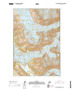
2017 · Mount Fairweather D-6 NE
USGS Topo · 1:25,000