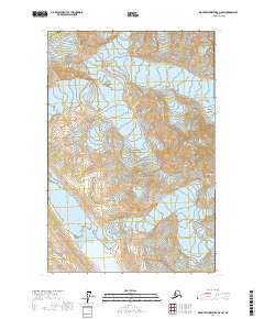
2017 Map of Mount Fairweather D-5 SW
USGS Topo · Published 2017About this map
Glacier Bay National Park encompasses most of this landscape, where massive ice fields and steep elevation changes define the coastal environment. The survey documents the high-altitude reaches of the Saint Elias Mountains and the Fairweather Range, tracing the frozen paths of the Fairweather Glacier and Desolation Glacier. These geological features illustrate the dynamic nature of the Alaskan panhandle, where glaciers carve out areas like Desolation Valley. Positioned at the boundary of Yakutat Borough and Hoonah-Angoon Census Area, the map provides a precise record of these shifting ice masses and alpine features as they existed in the early twenty-first century.
Find a feature on this map
11 named features on this map. Tap any name to fly to it.
Don’t see what you’re looking for? This feature index may not catch every label — zoom into the map to look around manually.
Map Details
Editions of this 2017 Mount Fairweather D-5 SW Map
This is the sole edition of this map. No revisions or reprints were ever made.
Other maps of this area

1951 · Mt Fairweather
USGS Topo · 1:250,000

1961 · Mount Fairweather D-6
USGS Topo · 1:63,360

1961 · Mount Fairweather D-5
USGS Topo · 1:63,360
1961 · Mount Fairweather C-6
USGS Topo · 1:63,360

1961 · Mount Fairweather C-5
USGS Topo · 1:63,360

1961 · Mt Fairweather
USGS Topo · 1:250,000
2017 · Mount Fairweather D-5 NW
USGS Topo · 1:25,000
2017 · Mount Fairweather C-5 NW
USGS Topo · 1:25,000
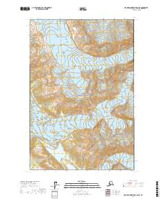
2017 · Mount Fairweather D-6 NE
USGS Topo · 1:25,000
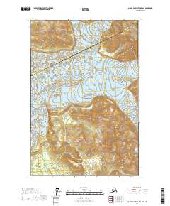
2017 · Mount Fairweather D-6 SE
USGS Topo · 1:25,000