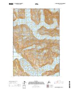
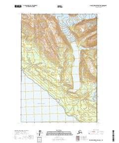
2017 Map of Mount Fairweather C-5 NE
USGS Topo · Published 2017About this map
Glacier Bay National Park dominates this landscape, where the ice and mountains of the Fairweather Range meet the Pacific. The glacial activity here is dynamic, defined by massive ice flows like the Lituya Glacier and Cascade Glacier that carve through the Saint Elias Mountains. These frozen rivers shape the coastline, notably around Crillon Inlet, which is fed by both the North Crillon Glacier and South Crillon Glacier. Isolated landmarks such as Bay Peak rise above the ice, providing fixed points in a territory constantly reshaped by advancing and retreating glaciers. This map serves as a precise record of the shoreline and ice extent along the Gulf of Alaska in the early 21st century, illustrating the intersection of maritime and alpine environments.
Find a feature on this map
17 named features on this map. Tap any name to fly to it.
Don’t see what you’re looking for? This feature index may not catch every label — zoom into the map to look around manually.
Map Details
Editions of this 2017 Mount Fairweather C-5 NE Map
This is the sole edition of this map. No revisions or reprints were ever made.
Other maps of this area

1951 · Mt Fairweather
USGS Topo · 1:250,000

1961 · Mount Fairweather D-4
USGS Topo · 1:63,360

1961 · Mount Fairweather D-5
USGS Topo · 1:63,360

1961 · Mount Fairweather C-4
USGS Topo · 1:63,360

1961 · Mount Fairweather C-5
USGS Topo · 1:63,360

1961 · Mt Fairweather
USGS Topo · 1:250,000
2017 · Mount Fairweather D-4 SW
USGS Topo · 1:25,000
2017 · Mount Fairweather C-5 NW
USGS Topo · 1:25,000
2017 · Mount Fairweather C-4 SW
USGS Topo · 1:25,000
2017 · Mount Fairweather C-5 SE
USGS Topo · 1:25,000