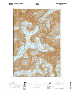
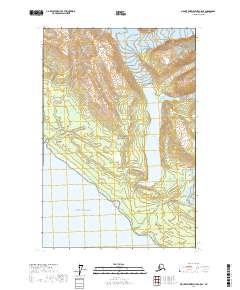
2017 Map of Mount Fairweather C-4 NW
USGS Topo · Published 2017About this map
Glacier Bay National Park serves as the backdrop for this high-altitude survey of the southern Fairweather Range, where immense ice fields dominate the topography. The map documents a landscape defined by dramatic elevation changes, featuring prominent peaks such as Mt Crillon, Mt Wilbur, and Mt Orville. These mountains feed a complex network of moving ice, including the North Crillon Glacier and South Crillon Glacier, which flow from the high ridges toward the coast. The cartography emphasizes the sheer scale of the glacial environment, tracing the expansive reach of the Johns Hopkins Glacier and the La Perouse Glacier as they carve through the terrain. For researchers, the map provides a precise record of glacial boundaries and terminal positions within the park at this specific moment in the early twenty-first century.
Find a feature on this map
16 named features on this map. Tap any name to fly to it.
Don’t see what you’re looking for? This feature index may not catch every label — zoom into the map to look around manually.
Map Details
Editions of this 2017 Mount Fairweather C-4 NW Map
This is the sole edition of this map. No revisions or reprints were ever made.
Other maps of this area

1951 · Mt Fairweather
USGS Topo · 1:250,000

1961 · Mount Fairweather D-4
USGS Topo · 1:63,360

1961 · Mount Fairweather D-5
USGS Topo · 1:63,360

1961 · Mount Fairweather C-4
USGS Topo · 1:63,360

1961 · Mount Fairweather C-5
USGS Topo · 1:63,360

1961 · Mt Fairweather
USGS Topo · 1:250,000
2017 · Mount Fairweather D-4 SW
USGS Topo · 1:25,000
2017 · Mount Fairweather C-4 SE
USGS Topo · 1:25,000
2017 · Mount Fairweather C-4 SW
USGS Topo · 1:25,000
2017 · Mount Fairweather C-5 SE
USGS Topo · 1:25,000