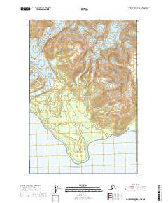
2017 Map of Mount Fairweather B-4 NE
USGS Topo · Published 2017About this map
Glacier Bay National Park dominates this coastal Alaska landscape, where the high summits of the Fairweather Range and Saint Elias Mountains meet the Pacific. The terrain is defined by dramatic elevation changes, notably at Mt Marchainville, and active glacial movement as seen with Finger Glacier. At the shoreline, Icy Point marks a distinct protrusion into the Gulf of Alaska, flanked by the waters of Palma Bay. The drainage patterns are established by Kakhau Cr, which flows through the park boundaries. This 2017 survey reflects the remote and largely untouched character of the Hoonah-Angoon Census Area, illustrating the complex intersection of alpine peaks and maritime inlets in one of the most wilderness-dense regions of the United States.
Find a feature on this map
13 named features on this map. Tap any name to fly to it.
Don’t see what you’re looking for? This feature index may not catch every label — zoom into the map to look around manually.
Map Details
Editions of this 2017 Mount Fairweather B-4 NE Map
This is the sole edition of this map. No revisions or reprints were ever made.
Other maps of this area

1951 · Mt Fairweather
USGS Topo · 1:250,000
1961 · Mount Fairweather B-3
USGS Topo · 1:63,360

1961 · Mount Fairweather C-4
USGS Topo · 1:63,360

1961 · Mount Fairweather C-3
USGS Topo · 1:63,360
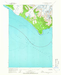
1961 · Mt Fairweather B-4
USGS Topo · 1:63,360

1961 · Mt Fairweather
USGS Topo · 1:250,000
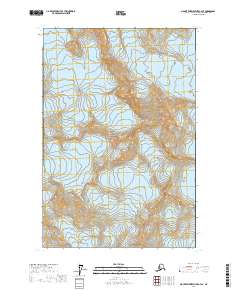
2017 · Mount Fairweather C-4 SE
USGS Topo · 1:25,000
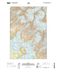
2017 · Mount Fairweather C-4 SW
USGS Topo · 1:25,000
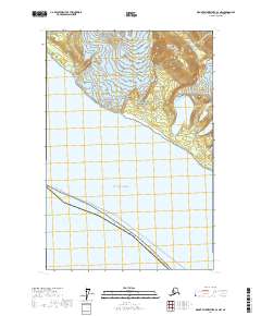
2017 · Mount Fairweather B-4 NW
USGS Topo · 1:25,000
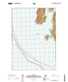
2017 · Mount Fairweather B-3 SW
USGS Topo · 1:25,000