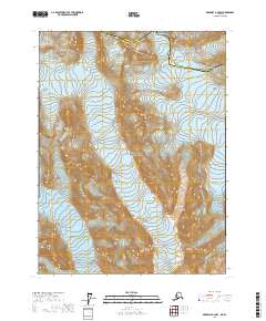
2017 Map of Skagway A-4 NW
USGS Topo · Published 2017About this map
Glacier Bay National Park dominates this 2017 survey, revealing a landscape defined by dramatic glacial movement and high-elevation terrain. This map records the positions of the Muir Glacier and Morse Glacier at a specific moment in their modern retreat. The terrain transition is marked by the Haines Borough Hoonah-Angoon Census Area boundary, which cuts across the northern reaches of the quadrangle. The map is primarily an exploration of ice and elevation, following the contours of the ice fields and the steep slopes of the surrounding peaks within the national park boundaries.
Find a feature on this map
10 named features on this map. Tap any name to fly to it.
Don’t see what you’re looking for? This feature index may not catch every label — zoom into the map to look around manually.
Map Details
Editions of this 2017 Skagway A-4 NW Map
This is the sole edition of this map. No revisions or reprints were ever made.
Other maps of this area

1952 · Skagway
USGS Topo · 1:250,000

1954 · Skagway B-4
USGS Topo · 1:63,360
1961 · Skagway A-4
USGS Topo · 1:63,360
1961 · Skagway A-5
USGS Topo · 1:63,360

1961 · Skagway
USGS Topo · 1:250,000
2017 · Skagway A-4 NE
USGS Topo · 1:25,000
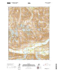
2017 · Skagway B-4 SE
USGS Topo · 1:25,000
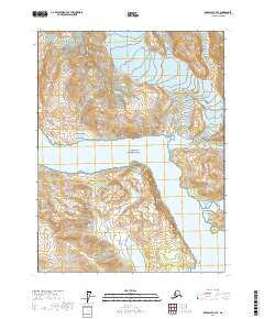
2017 · Skagway A-4 SE
USGS Topo · 1:25,000
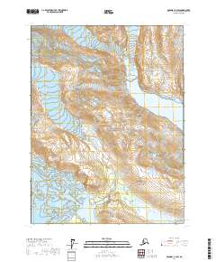
2017 · Skagway A-4 SW
USGS Topo · 1:25,000
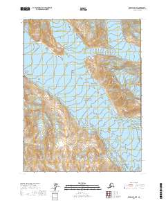
2017 · Skagway A-5 SE
USGS Topo · 1:25,000