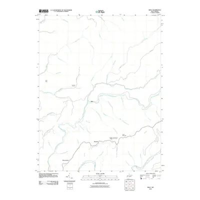
2010 Map of Skelt
USGS Topo · Published 2010About this map
Point Mountain and the high ridge lines of Bonner Ridge define the landscape of this Webster County region. The winding Back Fork Elk River and the southern Elk River serve as the primary topographical features, carving deep valleys that host small communities like Skelt, Woodzell, and Bernardstown. The map illustrates a network of mountain roads including Bergoo Rd and Grassy Creek Rd that connect these remote settlements.
Find a feature on this map
52 named features on this map. Tap any name to fly to it.
Don’t see what you’re looking for? This feature index may not catch every label — zoom into the map to look around manually.
Map Details
Editions of this 2010 Skelt Map
This is the sole edition of this map. No revisions or reprints were ever made.
Other maps of this area

1891 · Huntersville
USGS Topo · 1:125,000

1893 · Buckhannon
USGS Topo · 1:125,000

1894 · Huntersville
USGS Topo · 1:125,000

1896 · Buckhannon
USGS Topo · 1:125,000

1897 · Buckhannon
USGS Topo · 1:125,000

1913 · Hacker Valley
USGS Topo · 1:48,000

1913 · Pickens
USGS Topo · 1:48,000

1915 · Webster Springs
USGS Topo · 1:48,000

1915 · Hacker Valley
USGS Topo · 1:62,500

1915 · Pickens
USGS Topo · 1:62,500