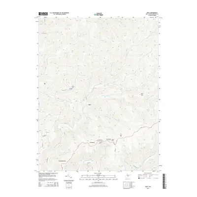
2014 Map of Skelt
USGS Topo · Published 2014About this map
Skelt and the surrounding highlands of Webster County are defined by a complex network of narrow hollows and high ridges that separate the headwaters of several major regional river systems. The settlement of Bernardstown sits along the southern edge, connected by WV-15 to the more remote interior hamlets of Woodzell and Skelt. The geography of the region is punctuated by prominent elevations such as Point Mtn and Potato Knob, where the Point Mountain Lookout Tower once served as a critical vantage point for forest fire detection. Local history is deeply embedded in the terrain through family landmarks and small hilltop congregations, including the Allen Cogar Cemetery and the Lower Point Mtn Community Church. Numerous drainage systems like the Right Fork Holly River and Back Fork Elk River carve through the landscape, illustrating the difficult topography that dictated early settlement patterns and mountain travel.
Find a feature on this map
65 named features on this map. Tap any name to fly to it.
Don’t see what you’re looking for? This feature index may not catch every label — zoom into the map to look around manually.
Map Details
Editions of this 2014 Skelt Map
This is the sole edition of this map. No revisions or reprints were ever made.
Other maps of this area

1891 · Huntersville
USGS Topo · 1:125,000

1893 · Buckhannon
USGS Topo · 1:125,000

1894 · Huntersville
USGS Topo · 1:125,000

1896 · Buckhannon
USGS Topo · 1:125,000

1897 · Buckhannon
USGS Topo · 1:125,000

1913 · Hacker Valley
USGS Topo · 1:48,000

1913 · Pickens
USGS Topo · 1:48,000

1915 · Webster Springs
USGS Topo · 1:48,000

1915 · Hacker Valley
USGS Topo · 1:62,500

1915 · Pickens
USGS Topo · 1:62,500