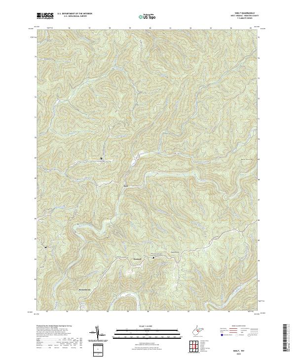
2023 Map of Skelt
USGS Topo · Published 2023About this map
Skelt and Woodzell occupy a landscape defined by the deep dissection of the Allegheny Plateau, where high ridges like Back Fork Mtn and Potato Knob divide the complex drainage basins of the Elk River. The settlement pattern follows these narrow valley floors and ridgelines, with Bernardstown situated along the Back Fork Elk River. The area's social history is preserved in several highland burial grounds, including the Lower Point Mountain Community Church Cem and Fairview Cem.
Find a feature on this map
62 named features on this map. Tap any name to fly to it.
Don’t see what you’re looking for? This feature index may not catch every label — zoom into the map to look around manually.
Map Details
Editions of this 2023 Skelt Map
This is the sole edition of this map. No revisions or reprints were ever made.
Other maps of this area

1891 · Huntersville
USGS Topo · 1:125,000

1893 · Buckhannon
USGS Topo · 1:125,000

1894 · Huntersville
USGS Topo · 1:125,000

1896 · Buckhannon
USGS Topo · 1:125,000

1897 · Buckhannon
USGS Topo · 1:125,000

1913 · Hacker Valley
USGS Topo · 1:48,000

1913 · Pickens
USGS Topo · 1:48,000

1915 · Webster Springs
USGS Topo · 1:48,000

1915 · Hacker Valley
USGS Topo · 1:62,500

1915 · Pickens
USGS Topo · 1:62,500