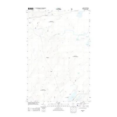
2013 Map of Skibo
USGS Topo · Published 2013About this map
The Saint Louis River and its numerous tributaries dominate this part of the Superior National Forest in Saint Louis County. Small settlements including Skibo, Clappers, and Reno appear as points of human presence in a landscape defined by water and timber resources. The presence of Skibo Mill indicates the area's ongoing connection to the regional timber or industrial economy, while the Cadotte Lake Campground near Cadotte Lake and Bassett Lake highlights the importance of outdoor recreation.
Find a feature on this map
23 named features on this map. Tap any name to fly to it.
Don’t see what you’re looking for? This feature index may not catch every label — zoom into the map to look around manually.
Map Details
Editions of this 2013 Skibo Map
This is the sole edition of this map. No revisions or reprints were ever made.
Other maps of this area

1949 · Allen
USGS Topo · 1:24,000

1950 · Allen
USGS Topo · 1:24,000

1951 · Babbitt SW
USGS Topo · 1:24,000

1952 · Babbitt SE
USGS Topo · 1:24,000

1954 · Two Harbors
USGS Topo · 1:250,000

1954 · Hibbing
USGS Topo · 1:250,000

1957 · Two Harbors
USGS Topo · 1:250,000

1957 · Hibbing
USGS Topo · 1:250,000

1957 · Brimson
USGS Topo · 1:62,500

1957 · Markham
USGS Topo · 1:62,500