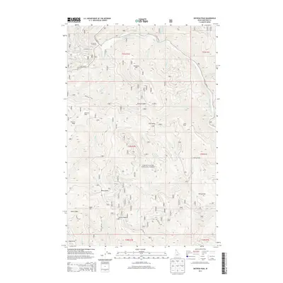
2013 Map of Skitwish Peak
USGS Topo · Published 2013About this map
Coeur D'Alene National Forest dominates this Idaho landscape, characterized by a series of high ridges and deep river drainages within Kootenai County. The topography is defined by the Little North Fork Coeur d'Alene River which winds through the northern and eastern portions of the quadrangle. Several significant summits, including Skitwish Peak and Monument Mtn, provide the high points for a network of forest service roads and primitive trails. Access into this back-country is primarily through routes like Little N Fork Rd and Monument LO Rd. The area supports seasonal recreation and potential historical exploration, evidenced by Honeysuckle Campground and the presence of Lost Mines Rd near Deception Cr. Various saddles like Marie Saddle and Skookum Saddle mark the passes between the steep drainages of Canyon Cr and Fisher Cr.
Find a feature on this map
49 named features on this map. Tap any name to fly to it.
Don’t see what you’re looking for? This feature index may not catch every label — zoom into the map to look around manually.
Map Details
Editions of this 2013 Skitwish Peak Map
This is the sole edition of this map. No revisions or reprints were ever made.
Other maps of this area

1903 · Rathdrum
USGS Topo · 1:125,000

1909 · Cataldo
USGS Topo · 1:125,000

1911 · Cataldo
USGS Topo · 1:125,000

1955 · Spokane
USGS Topo · 1:250,000

1957 · Kingston
USGS Topo · 1:62,500

1957 · Lane
USGS Topo · 1:62,500

1958 · Spokane
USGS Topo · 1:250,000

1961 · Lakeview
USGS Topo · 1:62,500

1961 · Athol
USGS Topo · 1:62,500
1981 · Lane
USGS Topo · 1:24,000