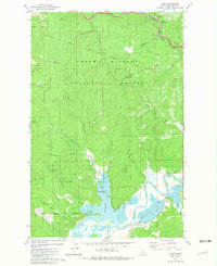
1981 Map of Lane
USGS Topo · Published 1981About this map
The Coeur d'Alene National Forest dominates this northern Idaho landscape, where high mountain ridges and deep drainage draws meet the water. In the northeast corner, Fourth of July Summit marks a significant high point near the Mullan Tree Historic Site, a node of local heritage. To the south, the terrain descends toward the South Fork Coeur d'Alene River, which meanders through a wetland-rich valley containing Killarney Lake and the distinctive Popcorn Island. The industrial and transportation patterns of the early 1980s are evident in the presence of the Union Pacific railroad line and scattered operations like the Quarry near Rose Creek. The small settlement of Lane serves as a focal point along the river valley, connected by a network of forest roads and trails that traverse landmarks such as Beauty Saddle and Hogback Ridge.
Find a feature on this map
35 named features on this map. Tap any name to fly to it.
Don’t see what you’re looking for? This feature index may not catch every label — zoom into the map to look around manually.
Map Details
Editions of this 1981 Lane Map
2 editions found
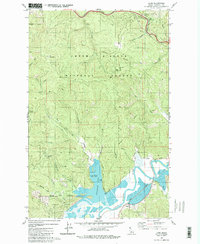
Other maps of this area

1903 · Rathdrum
USGS Topo · 1:125,000

1909 · Cataldo
USGS Topo · 1:125,000

1911 · Cataldo
USGS Topo · 1:125,000

1950 · Rochat Peak
USGS Topo · 1:24,000

1952 · Rochat Peak
USGS Topo · 1:24,000

1955 · Spokane
USGS Topo · 1:250,000

1957 · St. Maries
USGS Topo · 1:62,500

1957 · Kingston
USGS Topo · 1:62,500

1957 · Lane
USGS Topo · 1:62,500

1957 · St. Joe
USGS Topo · 1:62,500