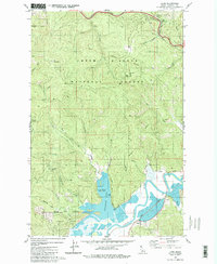
1981 Map of Lane
USGS Topo · Published 1981About this map
The Mullan Tree Historic Site stands as a significant landmark in the northern reaches of this Idaho landscape, marking the historic crossing at Fourth of July Summit. This area, within the Coeur d'Alene National Forest, is defined by its complex topography and water systems, where the South Fork Coeur d'Alene River winds through the southern portion of the quadrangle. The map reveals the intricate shoreline of Killarney Lake, featuring named points like Popcorn Island and providing recreational access via a dedicated Boat Ramp.
Find a feature on this map
40 named features on this map. Tap any name to fly to it.
Don’t see what you’re looking for? This feature index may not catch every label — zoom into the map to look around manually.
Map Details
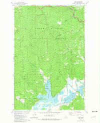
Editions of this 1981 Lane Map
2 editions found
Other maps of this area

1903 · Rathdrum
USGS Topo · 1:125,000

1909 · Cataldo
USGS Topo · 1:125,000

1911 · Cataldo
USGS Topo · 1:125,000

1950 · Rochat Peak
USGS Topo · 1:24,000

1952 · Rochat Peak
USGS Topo · 1:24,000

1955 · Spokane
USGS Topo · 1:250,000

1957 · St. Maries
USGS Topo · 1:62,500

1957 · Kingston
USGS Topo · 1:62,500

1957 · Lane
USGS Topo · 1:62,500

1957 · St. Joe
USGS Topo · 1:62,500