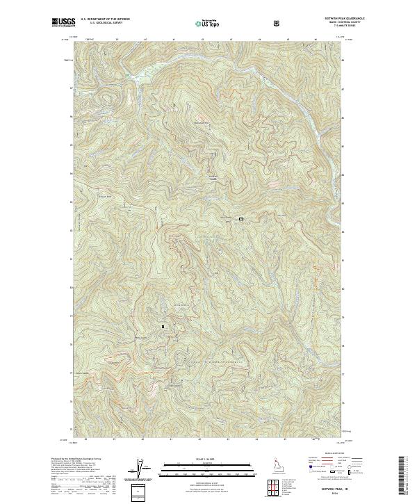
2024 Map of Skitwish Peak
USGS Topo · Published 2024About this map
Skitwish Peak and the surrounding Coeur d'Alene National Forest define this landscape within the Coeur d'Alene Mountains. The area is characterized by a complex network of high ridges and deep drainages, with the Little North Fork Coeur d'Alene River flowing across the northern sections. This 2024 survey documents an extensive system of forest development roads and specialized trails, including the 4th Of July Pass Ohv Trl and the Skitwish Ridge Atv Trl, which navigate the steep terrain between peaks like Copper Mtn and Monument Mtn. Historic land use is hinted at by features such as Lost Mines Rd near Demorest Creek. The map provides a detailed view of the natural water systems that feed the region, from Hoodoo Creek in the northwest to Copper Creek in the southeast.
Find a feature on this map
64 named features on this map. Tap any name to fly to it.
Don’t see what you’re looking for? This feature index may not catch every label — zoom into the map to look around manually.
Map Details
Editions of this 2024 Skitwish Peak Map
This is the sole edition of this map. No revisions or reprints were ever made.
Other maps of this area

1903 · Rathdrum
USGS Topo · 1:125,000

1909 · Cataldo
USGS Topo · 1:125,000

1911 · Cataldo
USGS Topo · 1:125,000

1955 · Spokane
USGS Topo · 1:250,000

1957 · Kingston
USGS Topo · 1:62,500

1957 · Lane
USGS Topo · 1:62,500

1958 · Spokane
USGS Topo · 1:250,000

1961 · Lakeview
USGS Topo · 1:62,500

1961 · Athol
USGS Topo · 1:62,500
1981 · Lane
USGS Topo · 1:24,000