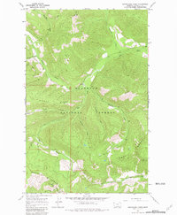
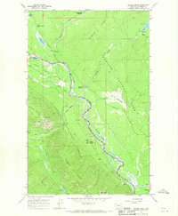
1966 Map of Skookoleel Creek
USGS Topo · Published 1981About this map
Flathead National Forest covers this high-elevation landscape, where firefighting surveillance and primitive access define the mid-century human presence. In the 1960s, the high points of the Whitefish Range and Smoky Range were anchored by critical observation posts, including Smoky Lookout Tower and Forks Lookout. These stations monitored the drainages of Skookoleel Creek and Big Creek, providing essential views across the western Montana wilderness.
Find a feature on this map
34 named features on this map. Tap any name to fly to it.
Don’t see what you’re looking for? This feature index may not catch every label — zoom into the map to look around manually.
Map Details
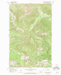
Editions of this 1966 Skookoleel Creek Map
2 editions found
Other maps of this area

1906 · Kintla Lakes
USGS Topo · 1:125,000

1938 · Kintla Lakes
USGS Topo · 1:125,000

1943 · Kalispell
USGS Topo · 1:125,000

1957 · Kalispell
USGS Topo · 1:250,000

1960 · Kalispell
USGS Topo · 1:250,000

1961 · Kalispell
USGS Topo · 1:250,000

1962 · Beaver Lake
USGS Topo · 1:24,000
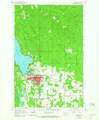
1962 · Whitefish
USGS Topo · 1:24,000
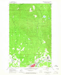
1962 · Columbia Falls North
USGS Topo · 1:24,000
1966 · Demers Ridge
USGS Topo · 1:24,000