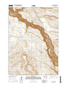
2017 Map of Skull Creek
USGS Topo · Published 2017About this map
The Owyhee River cuts a deep path through Malheur County, Oregon, defining the landscape of this high-desert region. The river winds through the Owyhee Canyon, passing distinct landforms like the Hogback and Lower Deary Pasture. The map reflects a landscape managed for water and livestock, evidenced by numerous small catchments such as Lambing Camp Reservoir, Iron Pit Reservoir, and Skull Cr Reservoir.
Find a feature on this map
47 named features on this map. Tap any name to fly to it.
Don’t see what you’re looking for? This feature index may not catch every label — zoom into the map to look around manually.
Map Details
Editions of this 2017 Skull Creek Map
This is the sole edition of this map. No revisions or reprints were ever made.
Other maps of this area

1955 · Jordan Valley
USGS Topo · 1:250,000

1957 · Jordan Valley
USGS Topo · 1:250,000

1958 · Jordan Valley
USGS Topo · 1:250,000
1969 · Little Grassy Mountain
USGS Topo · 1:24,000
1969 · Juniper Ridge
USGS Topo · 1:24,000
1969 · Dry Creek Rim
USGS Topo · 1:24,000
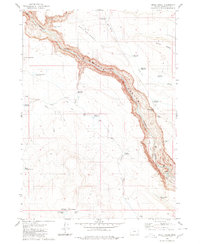
1980 · Skull Creek
USGS Topo · 1:24,000

1980 · Three Forks
USGS Topo · 1:24,000
1980 · Caviatta Ridge
USGS Topo · 1:24,000
1980 · Squaw Flat
USGS Topo · 1:24,000