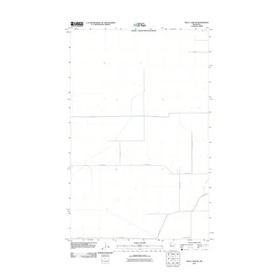
2011 Map of Skull Lake NE
USGS Topo · Published 2011About this map
The Canada - United States Boundary defines the northern edge of this northern Kittson County landscape as it appeared in the early 21st century. The terrain is characterized by a sparse, rigid grid of rural transport routes, highlighting the remote nature of the borderlands. Primary transit is facilitated by County Hwy-4 and County Hwy-25, which intersect to form the backbone of the local road network. Smaller secondary routes, including Twp Hwy T-1 and Twp Hwy T-5, branch off into the surrounding countryside. This 2011 survey, produced by the U. S. Geological Survey, reflects a quiet agricultural region where the geography is shaped by international proximity and long-distance township roads like Twp Hwy T-33.
Find a feature on this map
10 named features on this map. Tap any name to fly to it.
Don’t see what you’re looking for? This feature index may not catch every label — zoom into the map to look around manually.
Map Details
Editions of this 2011 Skull Lake NE Map
This is the sole edition of this map. No revisions or reprints were ever made.
Other maps of this area

1918 · Hemmington
USGS Topo · 1:62,500

1930 · Juneberry
USGS Topo · 1:31,680

1932 · Juneberry
USGS Topo · 1:62,500

1952 · Thief River Falls
USGS Topo · 1:250,000

1956 · Thief River Falls
USGS Topo · 1:250,000

1957 · Thief River Falls
USGS Topo · 1:250,000

1966 · Skull Lake
USGS Topo · 1:24,000

1966 · Caribou
USGS Topo · 1:24,000

1966 · Skull Lake NE
USGS Topo · 1:24,000

1966 · Skull Lake SE
USGS Topo · 1:24,000