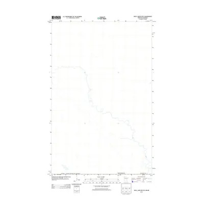
2013 Map of Skull Lake NE OE N
USGS Topo · Published 2013About this map
Kittson Co, Minnesota, occupies the lower portion of this 2013 survey, which documents a section of the international boundary between the United States and Canada. The line for Canada / United States of America cuts diagonally across the landscape, marking a precise administrative divide in a region characterized by a meandering river system. This map is particularly sparse in terms of developed infrastructure, focusing instead on the natural hydrography and the geopolitical boundary that separates the northernmost reaches of the state from Manitoba. The absence of traditional landmarks such as roads, buildings, or named towns emphasizes the remote nature of this borderlands area, where the primary features are the shifting curves of the waterway and the surveyed international line.
Find a feature on this map
3 named features on this map. Tap any name to fly to it.
Don’t see what you’re looking for? This feature index may not catch every label — zoom into the map to look around manually.
Map Details
Editions of this 2013 Skull Lake NE OE N Map
This is the sole edition of this map. No revisions or reprints were ever made.
Other maps of this area

1918 · Hemmington
USGS Topo · 1:62,500

1930 · Juneberry
USGS Topo · 1:31,680

1932 · Juneberry
USGS Topo · 1:62,500

1952 · Thief River Falls
USGS Topo · 1:250,000

1956 · Thief River Falls
USGS Topo · 1:250,000

1957 · Thief River Falls
USGS Topo · 1:250,000

1966 · Skull Lake
USGS Topo · 1:24,000

1966 · Caribou
USGS Topo · 1:24,000

1966 · Skull Lake NE
USGS Topo · 1:24,000

1967 · Thief River Falls
USGS Topo · 1:250,000