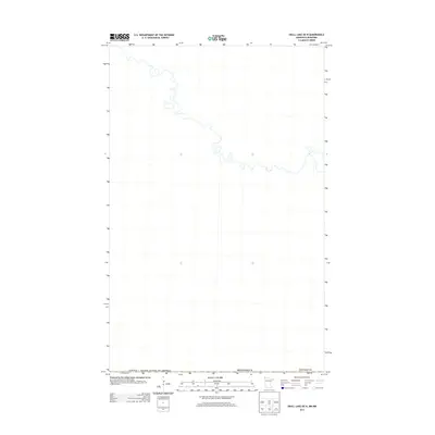
2013 Map of Skull Lake OE N
USGS Topo · Published 2013About this map
Kittson County, Minnesota, meets the international boundary in this 2013 topographic study of the northern borderlands. The landscape is dominated by the meandering course of a major waterway that snakes across the Canada / United States of America border multiple times, creating a complex series of river loops and oxbows. This map captures a strictly natural environment where the winding river morphology defines the geography of the transition between the United States and Canada. The lack of named roads or settlements highlights the isolation of this corner of Minnesota, preserving the layout of the waterway as it appeared in the early 21st century.
Find a feature on this map
3 named features on this map. Tap any name to fly to it.
Don’t see what you’re looking for? This feature index may not catch every label — zoom into the map to look around manually.
Map Details
Editions of this 2013 Skull Lake OE N Map
This is the sole edition of this map. No revisions or reprints were ever made.
Other maps of this area

1918 · Hemmington
USGS Topo · 1:62,500

1941 · Hallock
USGS Topo · 1:62,500

1952 · Thief River Falls
USGS Topo · 1:250,000

1956 · Thief River Falls
USGS Topo · 1:250,000

1957 · Thief River Falls
USGS Topo · 1:250,000

1966 · Skull Lake
USGS Topo · 1:24,000

1966 · Skull Lake NE
USGS Topo · 1:24,000

1967 · Thief River Falls
USGS Topo · 1:250,000
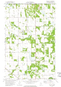
1974 · Hallock NE
USGS Topo · 1:24,000
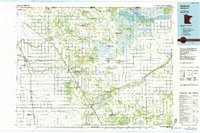
1985 · Hallock
USGS Topo · 1:100,000