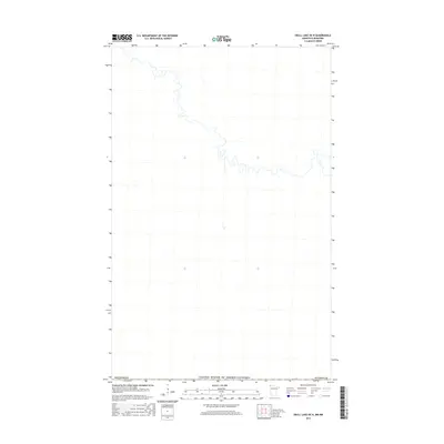
2016 Map of Skull Lake OE N
USGS Topo · Published 2016About this map
The international border between the United States of America and Canada defines this 2016 survey, where the northernmost reaches of Kittson Co, Minnesota, meet Manitoba. The landscape is dominated by the intricate meanders of a river system flowing through the borderland, illustrating the natural hydrological connections that ignore political boundaries. Because imagery and contour data were not available for this specific release, the map provides a focused look at the hydrography and the precise alignment of the international boundary line. This creates a clear geometric and aquatic profile of the region, useful for understanding the exact path of the border through the wetlands and river bends of this northern frontier.
Find a feature on this map
3 named features on this map. Tap any name to fly to it.
Don’t see what you’re looking for? This feature index may not catch every label — zoom into the map to look around manually.
Map Details
Editions of this 2016 Skull Lake OE N Map
This is the sole edition of this map. No revisions or reprints were ever made.
Other maps of this area

1918 · Hemmington
USGS Topo · 1:62,500

1941 · Hallock
USGS Topo · 1:62,500

1952 · Thief River Falls
USGS Topo · 1:250,000

1956 · Thief River Falls
USGS Topo · 1:250,000

1957 · Thief River Falls
USGS Topo · 1:250,000

1966 · Skull Lake
USGS Topo · 1:24,000

1966 · Skull Lake NE
USGS Topo · 1:24,000

1967 · Thief River Falls
USGS Topo · 1:250,000
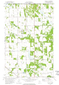
1974 · Hallock NE
USGS Topo · 1:24,000
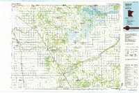
1985 · Hallock
USGS Topo · 1:100,000