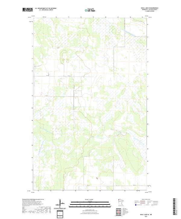
2022 Map of Skull Lake SE
USGS Topo · Published 2022About this map
Middle Br Two Rivers meanders through this remote portion of Kittson County, illustrating the intricate drainage patterns of northwestern Minnesota. The landscape is heavily defined by mid-20th-century water management projects, including State Ditch Number Seventy-two, State Ditch Number Fifty, and State Ditch Number Forty-eight. These engineering features reflect the region's long-standing efforts to reclaim and manage wetland areas for agricultural use and flood control.
Find a feature on this map
13 named features on this map. Tap any name to fly to it.
Don’t see what you’re looking for? This feature index may not catch every label — zoom into the map to look around manually.
Map Details
Editions of this 2022 Skull Lake SE Map
This is the sole edition of this map. No revisions or reprints were ever made.
Other maps of this area

1918 · Hemmington
USGS Topo · 1:62,500

1919 · Pelan
USGS Topo · 1:62,500

1930 · Juneberry
USGS Topo · 1:31,680

1932 · Juneberry
USGS Topo · 1:62,500

1952 · Thief River Falls
USGS Topo · 1:250,000

1956 · Thief River Falls
USGS Topo · 1:250,000

1956 · Karlstad
USGS Topo · 1:62,500

1957 · Thief River Falls
USGS Topo · 1:250,000

1957 · Pelan
USGS Topo · 1:62,500

1966 · Skull Lake
USGS Topo · 1:24,000