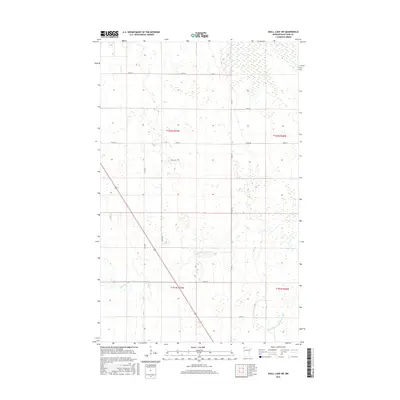
2016 Map of Skull Lake SW
USGS Topo · Published 2016About this map
The Middle Br Two Rivers meanders through the heart of this Kittson County landscape, defining the hydrology of a region where water management is integral to the local geography. The presence of State Ditch Number Forty-eight in the southeast corner underscores the historical efforts to drain and stabilize the terrain for agricultural or municipal use. The road network is strictly gridded, following township and range lines such as Co Rd 4 and Co Rd 15, which serve as primary connectors between rural sections. This systematic arrangement of section lines and access points like Field Rd reveals a landscape meticulously partitioned for land use, where the natural course of the river contrasts with the straight lines of human infrastructure. It is a clear representation of the Red River Valley's peripheral wetlands and the engineering required to manage its drainage.
Find a feature on this map
18 named features on this map. Tap any name to fly to it.
Don’t see what you’re looking for? This feature index may not catch every label — zoom into the map to look around manually.
Map Details
Editions of this 2016 Skull Lake SW Map
This is the sole edition of this map. No revisions or reprints were ever made.
Other maps of this area

1918 · Hemmington
USGS Topo · 1:62,500

1939 · Kennedy
USGS Topo · 1:62,500

1941 · Kennedy
USGS Topo · 1:62,500

1941 · Hallock
USGS Topo · 1:62,500

1952 · Thief River Falls
USGS Topo · 1:250,000

1956 · Thief River Falls
USGS Topo · 1:250,000

1956 · Karlstad
USGS Topo · 1:62,500

1957 · Thief River Falls
USGS Topo · 1:250,000

1966 · Skull Lake
USGS Topo · 1:24,000

1966 · Skull Lake NE
USGS Topo · 1:24,000