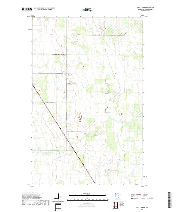
2022 Map of Skull Lake SW
USGS Topo · Published 2022About this map
Middle Br Two Rivers winds across this section of Kittson County, illustrating the low-lying, hydrologically complex landscape characteristic of the Red River Valley region. The area is defined by its drainage history, most notably evidenced by the presence of State Ditch Number Forty-eight in the southeast. This artificial waterway represents the large-scale engineering efforts required to manage the wetlands and seasonal flooding of the northwestern Minnesota prairie.
Find a feature on this map
18 named features on this map. Tap any name to fly to it.
Don’t see what you’re looking for? This feature index may not catch every label — zoom into the map to look around manually.
Map Details
Editions of this 2022 Skull Lake SW Map
This is the sole edition of this map. No revisions or reprints were ever made.
Other maps of this area

1918 · Hemmington
USGS Topo · 1:62,500

1939 · Kennedy
USGS Topo · 1:62,500

1941 · Kennedy
USGS Topo · 1:62,500

1941 · Hallock
USGS Topo · 1:62,500

1952 · Thief River Falls
USGS Topo · 1:250,000

1956 · Thief River Falls
USGS Topo · 1:250,000

1956 · Karlstad
USGS Topo · 1:62,500

1957 · Thief River Falls
USGS Topo · 1:250,000

1966 · Skull Lake
USGS Topo · 1:24,000

1966 · Skull Lake NE
USGS Topo · 1:24,000