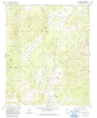
1979 Map of Skull Valley
USGS Topo · Published 1991About this map
Skull Valley and the surrounding Ferguson Valley define the landscape of this late-1970s survey, where the rangelands of Yavapai County meet the rugged reaches of the Prescott National Forest. The settlement of Skull Valley serves as the local hub, supported by the historic Skull Valley Cem and agricultural outposts like Contreras Ranch and Old Foley Ranch. The map reveals a transition from traditional ranching to mid-century utility, evidenced by the Quarter Circle J Landing Strip.
Find a feature on this map
34 named features on this map. Tap any name to fly to it.
Don’t see what you’re looking for? This feature index may not catch every label — zoom into the map to look around manually.
Map Details
Editions of this 1979 Skull Valley Map
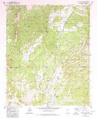
2 editions found
Other maps of this area

1887 · Prescott
USGS Topo · 1:250,000

1892 · Prescott
USGS Topo · 1:250,000

1903 · Congress
USGS Topo · 1:125,000

1904 · Congress
USGS Topo · 1:125,000

1947 · Iron Springs
USGS Topo · 1:62,500

1947 · Kirkland
USGS Topo · 1:62,500

1947 · Sheridan Mountain
USGS Topo · 1:62,500

1948 · Sheridan Mountain
USGS Topo · 1:63,360

1948 · Iron Springs
USGS Topo · 1:63,360

1948 · Kirkland
USGS Topo · 1:63,360