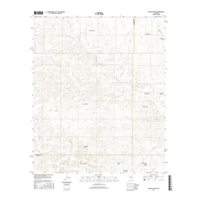
2017 Map of Skunk Canyon
USGS Topo · Published 2017About this map
Skunk Canyon and the surrounding high desert terrain define this corner of New Mexico where the boundary between Lincoln and Chaves Counties cuts across the landscape. The area is characterized by a complex network of seasonal drainages and sharp relief, including Antelope Draw and Monument Canyon. Human presence is marked by a sparse grid of rural routes such as Johnson Draw Rd and Salt Lake Rd, which serve the various grazing allotments and ranching sections. A rare water feature, Pond Lake, sits isolated in the central portion of the sheet. The map illustrates the geometric intersection of public land survey sections against the natural erosion of the land, seen in the branching paths of Little Twin Butte Canyon and Brushy Canyon.
Find a feature on this map
19 named features on this map. Tap any name to fly to it.
Don’t see what you’re looking for? This feature index may not catch every label — zoom into the map to look around manually.
Map Details
Editions of this 2017 Skunk Canyon Map
This is the sole edition of this map. No revisions or reprints were ever made.
Other maps of this area

1955 · Roswell
USGS Topo · 1:250,000

1956 · Diamond A Ranch
USGS Topo · 1:24,000

1958 · Roswell
USGS Topo · 1:250,000

1959 · Diamond A Ranch
USGS Topo · 1:24,000

1961 · Flying H
USGS Topo · 1:62,500

1961 · Indian Bluff
USGS Topo · 1:62,500

1961 · Tinnie
USGS Topo · 1:62,500

1962 · Roswell
USGS Topo · 1:250,000

1962 · Horseshoe Bend
USGS Topo · 1:62,500

1979 · Roswell
USGS Topo · 1:100,000