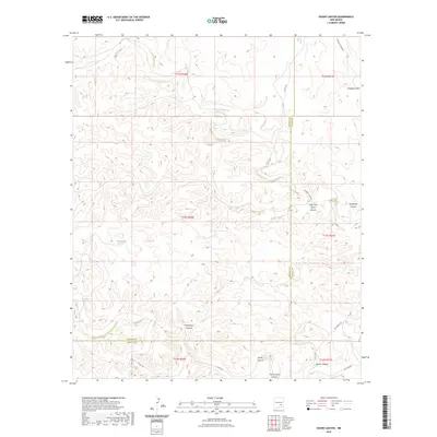
2023 Map of Skunk Canyon
USGS Topo · Published 2023About this map
Pond Lake sits near the western edge of this terrain, where the high desert landscape is deeply incised by a network of drainage systems. The map detail is dominated by significant erosional features such as Monument Canyon and the namesake Skunk Canyon, which define the local topography south of the Lincoln Co Chaves Co line. A complex system of draws and canyons, including Antelope Draw and Twin Butte Canyon, illustrates the arid hydrology of southeastern New Mexico.
Find a feature on this map
20 named features on this map. Tap any name to fly to it.
Don’t see what you’re looking for? This feature index may not catch every label — zoom into the map to look around manually.
Map Details
Editions of this 2023 Skunk Canyon Map
This is the sole edition of this map. No revisions or reprints were ever made.
Other maps of this area

1955 · Roswell
USGS Topo · 1:250,000

1956 · Diamond A Ranch
USGS Topo · 1:24,000

1958 · Roswell
USGS Topo · 1:250,000

1959 · Diamond A Ranch
USGS Topo · 1:24,000

1961 · Flying H
USGS Topo · 1:62,500

1961 · Indian Bluff
USGS Topo · 1:62,500

1961 · Tinnie
USGS Topo · 1:62,500

1962 · Roswell
USGS Topo · 1:250,000

1962 · Horseshoe Bend
USGS Topo · 1:62,500

1979 · Roswell
USGS Topo · 1:100,000