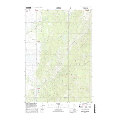
2017 Map of Skunk Creek Summit
USGS Topo · Published 2017About this map
Alpha and its nearby Alpha Cem anchor the western edge of this Boise National Forest study, situated along the Payette River Scenic Byway. The landscape transitions from the residential developments of Long Valley, marked by roads like Castle Loop and Blue Spruce Ln, into the high elevations of the North Fork Range. Central to the terrain is a complex network of water management features, including Herrick Reservoir, East Mountain Reservoir, and the Corral Creek Reservoir, alongside an extensive series of irrigation channels such as Ditch High and Ditch Middle. Remnants of earlier land use are visible in the naming of north-valley thoroughfares like Gold Dust Rd, Miners Ct, and W Prospectors Dr, which lead toward Warner Pond. High-country landmarks like Skunk Creek Summit dominate the southeastern topography.
Find a feature on this map
72 named features on this map. Tap any name to fly to it.
Don’t see what you’re looking for? This feature index may not catch every label — zoom into the map to look around manually.
Map Details
Editions of this 2017 Skunk Creek Summit Map
This is the sole edition of this map. No revisions or reprints were ever made.
Other maps of this area

1894 · Squaw Creek
USGS Topo · 1:125,000

1909 · Garden Valley
USGS Topo · 1:125,000

1911 · Meadows
USGS Topo · 1:125,000

1953 · Smiths Ferry
USGS Topo · 1:62,500

1953 · Boiling Springs
USGS Topo · 1:62,500

1954 · Gold Fork
USGS Topo · 1:62,500

1954 · Cascade
USGS Topo · 1:62,500

1955 · Baker
USGS Topo · 1:250,000

1957 · Challis
USGS Topo · 1:250,000

1959 · Baker
USGS Topo · 1:250,000