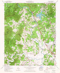
1965 Map of Skyland
USGS Topo · Published 1966About this map
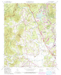
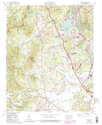
The French Broad River snakes through the center of this mid-century survey, dividing the high ridges of the Pisgah National Forest from the growing suburban and industrial corridors of southern Buncombe County. In the east, the Southern railroad line supports the communities of Skyland, Fletcher, and Naples, while the Blue Ridge Parkway skirts the northern boundary near Ducker Mtn. The landscape reveals a transition from the protected woodlands of the Bent Creek Experimental Forest to the modern infrastructure of the Asheville Municipal Airport and the Asheville Steam Plant on the shores of Limestone Lake. Local history is preserved through numerous family and community landmarks, including the Oak Forest Cem and several country churches like St Barnabas Ch and Fanning Chapel. Small-scale industry is evident in the strip mines near Brickton, illustrating the varied land use of the era.
Find a feature on this map
92 named features on this map. Tap any name to fly to it.
Don’t see what you’re looking for? This feature index may not catch every label — zoom into the map to look around manually.
Map Details
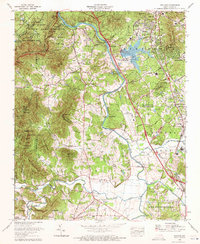
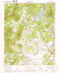
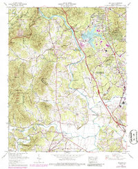
Editions of this 1965 Skyland Map
6 editions found
Other maps of this area

1894 · Asheville
USGS Topo · 1:125,000

1900 · Mount Mitchell
USGS Topo · 1:125,000

1901 · Asheville
USGS Topo · 1:125,000

1902 · Mount Mitchell
USGS Topo · 1:125,000

1905 · Pisgah
USGS Topo · 1:125,000

1906 · Pisgah
USGS Topo · 1:125,000

1907 · Saluda
USGS Topo · 1:125,000

1935 · Horse Shoe
USGS Topo · 1:24,000

1935 · Hendersonville
USGS Topo · 1:24,000

1935 · Pisgah Forest
USGS Topo · 1:24,000